HIGH-ACCURACY LiDAR & AERIAL MAPPING
Advanced RPAS data collection using DJI Matrice 400, Zenmuse L3 and professional mapping workflows for infrastructure, construction and industrial projects
LiDAR & MAPPING CAPABILITIES
LiDAR Data Collection
High-precision LiDAR data collection using the Zenmuse L3 for infrastructure, construction, terrain and industrial mapping applications.

3D Mapping & Modelling
Create detailed 3D models and point clouds. Aerial data collected using the Zenmuse L3 and P1 to support site visualization, measurements, planning, documentation and engineering workflows.

Photogrammetry
High-resolution aerial imagery using the Zenmuse P1 to create accurate orthomosaics, 3D models and detailed site documentation for construction, infrastructure and mapping applications.
Terrain & Surface Mapping
Accurate terrain and surface data for elevation analysis, site planning, construction documentation, volumetric work and project monitoring.
PROJECT DELIVERABLES
LAS / LAZ Point Clouds
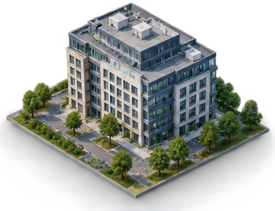
3D Models
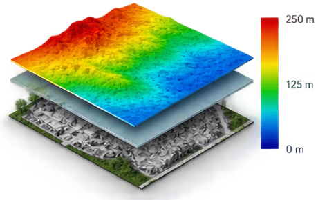
DEM / DSM
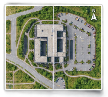
Orthomosaics (2D Maps)
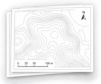
Contours & CAD Files